Metadata
Descriptive information pertaining to the associated data files or data products. Information includes location and spatial coverage of the digital image data, acquisition date, associated file content, and data quality. Metadata are generated for the Level 0R data files and for the Level 0R, 1R, and 1G data products.
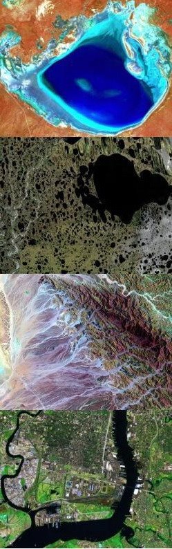
Browse Image
Sub-sampled Level 0R digital image of the Earth that can be viewed on a scene basis to quickly assess general ground area coverage, data quality, and the spatial relationships between ground area coverage and cloud coverage. A browse image provides a coarse spatial resolution image with a reduced data volume to facilitate screening of the archived Landsat 7 data.
Calibration Parameter File
Parameters required to radiometrically and geometrically correct Level 0R digital image data to generate Level 1R or 1G data products. The parameters are based on calibration of the ETM+ and the Landsat 7 spacecraft.
Level 0R Data File
Level 0R digital image data (see description below); payload correction data from the spacecraft including attitude, ephemeris high frequency jitter data, and ETM+ and spacecraft temperatures; mirror scan correction data; a geolocation table; and internal calibration lamp data.
Level 0R Digital Image Data
Reformatted, raw data acquired by the ETM+ as it views the Earth. Reformatting for ETM+ includes: 1) reversing the order of the reverse scan data, 2) aligning the staggered detectors, 3) nominal alignment of the forward and reverse scans. The data are not radiometrically corrected, the pixels are not resampled, and the pixels are not registered to a map projection.
Level 0R Data Product
Level 0R data files packaged and formatted for distribution to Landsat 7 data users along with the associated metadata and calibration parameter file. Data products are generated on request by a data user. A user may specify a subset of a Level 0R digital image or a subset of the data files for distribution.
Level 1R Data Product
A radiometrically corrected ETM+ digital Earth image along with the files containing metadata, calibration parameters, payload correction data, mirror scan correction data, a geolocation table, and internal calibration lamp data. The digital image pixels are not resampled for geometric correction and registration. Level 1R data products are generated on request and the data are packaged and formatted for distribution to the data user.
Level 1G Data Product
A radiometrically corrected and geometrically corrected ETM+ digital Earth image along with metadata, calibration parameters, and a geolocation table. The radiometrically corrected pixels are resampled for geometric correction and registration to a user-specified map projection. Level 1G data products are generated on request and the data are packaged and formatted for distribution to the data user.