| |
| Launch | |
|---|---|
| Date | January 22, 1975 |
| Vehicle | Delta 2910 |
| Site | Vandenberg AFB |
| Orbit characteristics | |
| Reference system | WRS-1 |
| Type | sun-synchronous, near-polar |
| Altitude | 917 km (570 mi) |
| Inclination | 99.2° |
| Repeat cycle | 18 days |
| Swath width | 185 km (115 mi) |
| Equatorial crossing time | 9:30 AM +/- 15 minutes |
History of Landsat 2
Landsat 2 is the second satellite of the Landsat program. The spacecraft originally carried a designation of ERTS-B (Earth Resource Technology Satellite B) but was renamed "Landsat 2" prior to its launch on January 22, 1975. Despite having a design life of one year, Landsat 2 operated for over seven years, finally ceasing operations on February 25, 1982.
Satellite Specifications
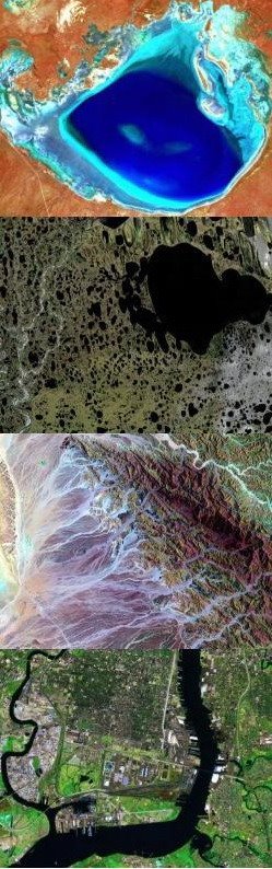
As in the case of its predecessor Landsat 1, the satellite's payload included two remote sensing instruments, the Return Beam Vidicon (RBV) and the Multi-Spectral Scanner (MSS). The specifications for these instruments were identical to those of the instruments carried on Landsat 1. (This was not the case for Landsat 3, which added a short-lived thermal band to the MSS instrument.) The data acquired by the MSS was considered more scientifically useful than the data returned from the RBV, which was rarely used and considered only for engineering evaluation purposes.
References:
- NASA, Landsat 2.
- Wikipedia, Landsat 2.