| |
| Launch | |
|---|---|
| Date | July 16, 1982 |
| Vehicle | Delta 3920 |
| Site | Vandenberg AFB |
| Orbit characteristics | |
| Reference system | WRS-2 |
| Type | sun-synchronous, near-polar |
| Altitude | 705 km (438 mi) |
| Inclination | 98.2° |
| Repeat cycle | 16 days |
| Swath width | 185 km (115 mi) |
| Equatorial crossing time | 9:45 AM +/- 15 minutes |
History of Landsat 4
The Landsat 4 spacecraft was significantly different than that of the previous Landsats and Landsat 4 did not carry the RBV instrument.
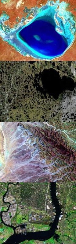
In addition to the Multispectral Scanner (MSS) instrument, Landsat 4 (and Landsat 5) carried a sensor with improved spectral and spatial resolution, i.e., the new satellites could see a wider (and more scientifically-tailored) portion of the electromagnetic spectrum and could see the ground in greater detail. This new instrument was known as the Thematic Mapper (TM).
The Landsat 4 TM instrument had seven spectral bands. Data was collected from the blue, green, red, near-infrared, mid-infrared (2 bands) and thermal infrared portions of the electromagnetic spectrum.
Within a year of launch, Landsat 4 lost the use of two of its solar panels and both of its direct downlink transmitters. So, the downlink of data was not possible until the Tracking and Data Relay Satellite System (TDRSS) became operational: Landsat 4 could then transmit data to TDRSS using its Ku-band transmitter and TDRSS could then relay that information to its ground stations.
In 1987, after the Landsat 5 Ku-transmitter failed and Landsat 5 was no longer able to downlink international data to the U.S. via TDRSS relay, Landsat 4 used its functional Ku-transmitter to downlink acquired international data via the TDRSS. This continued until 1993, when this last remaining science data downlink capability failed on Landsat 4.
Landsat 4 was kept in orbit for housekeeping telemetry command and tracking data (which it downlinked via a separate data path, the S-band) until it was decommissioned in 2001.
While Landsat 4 was built and launched by NASA, NOAA initially oversaw the operations of the satellite. Landsat 4 operations were contracted out to the Earth Observation Satellite Company (EOSAT) corporation in 1984.
By 1998, the management of the Landsat 4 (and Landsat 5) operations contract was transferred from NOAA to the USGS; operations were continued by the private sector until mid-2001 when Space Imaging (formerly EOSAT) returned the operations contract to the U.S. Government.
Despite the numerous transfers of satellite operation, the USGS has remained responsible for long-term preservation of Landsat data in its National Satellite Land Remote Sensing Data Archive (NSLRSDA) in Sioux Falls, South Dakota.
- NASA, Landsat 4.
- Wikipedia, Landsat 4.