| |
| Launch | |
|---|---|
| Date | March 5, 1978 |
| Vehicle | Delta 2910 |
| Site | Vandenberg AFB |
| Orbit characteristics | |
| Reference system | WRS-1 |
| Type | sun-synchronous, near-polar |
| Altitude | 917 km (570 mi) |
| Inclination | 99.1° |
| Repeat cycle | 18 days |
| Swath width | 185 km (115 mi) |
| Equatorial crossing time | 9:30 AM +/- 15 minutes |
History of Landsat 3
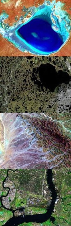
Landsat 3 is the third satellite of the Landsat program. It was launched on March 5th, 1978, with the primary goal of providing a global archive of satellite photos. Unlike later Landsats, Landsat 3 was managed solely by NASA. Landsat 3 is no longer in operation, due to technical failure. It finally ceased transmission on March 21st 1983, far beyond its designed life expectancy of one year.
Satellite Specifications
Landsat 3 had essentially the same design as Landsat 2. It carried a Multi-Spectral Scanner, which had a maximum 75m resolution. Unlike the previous two Landsat missions a thermal band was built into Landsat 3, but this instrument failed shortly after the satellite was deployed. Landsat 3 was placed into a polar orbit at about 920 kilometers, and took 18 days to cover the entire Earth's surface.
References:
- NASA, Landsat 3.
- Wikipedia, Landsat 3.